 NERC Data Catalogue Service
Shrinkage cracks
Type of resources
Topics
Keywords
Contact for the resource
Provided by
Years
Representation types
Update frequencies
Scale
-
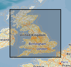
Shrink-swell is recognised as the most significant geohazard across Great Britain. This dataset identifies areas of shrink-swell hazard with increased potential due to changing climatic conditions based on forecasts derived from the UKCP09 research project. The dataset has been created at two levels of detail for different climatic scenarios and dates up to 2080. The Basic dataset is an overview at 2Km grid resolution whilst the more detailed Premium dataset is generated at a 50m resolution. The Open versions are simplified versions of the premium versions and are shared via GeoIndex. The premium versions are paid for products. UKCP09 - UK Climate Projections 2009 project
-
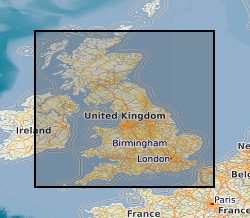
Shrink-swell is recognised as the most significant geohazard across Great Britain. This dataset identifies areas of shrink-swell hazard with increased potential due to changing climatic conditions based on forecasts derived from the UKCP18 climate projections. The dataset has been created at two levels of detail for RCP8.5 emissions scenario and dates up to 2070. The Basic dataset is an overview at 2Km grid resolution whilst the more detailed Premium dataset is generated at a 50m resolution. The Open versions are simplified versions of the premium versions and are shared via BGS GeoIndex. The premium versions are paid for products. UKCP18 - UK Climate Projections 2018 project RCP8.5 - A pathway where greenhouse gas emissions continue to grow unmitigated, leading to a best estimate global average temperature rise of 4.3°C by 2100. Representative Concentration Pathways (RCPs) are a method for capturing those assumptions within a set of scenarios.